
Early Access · India's Real-Time Highway Intelligence Network
The intelligence before the hazard.
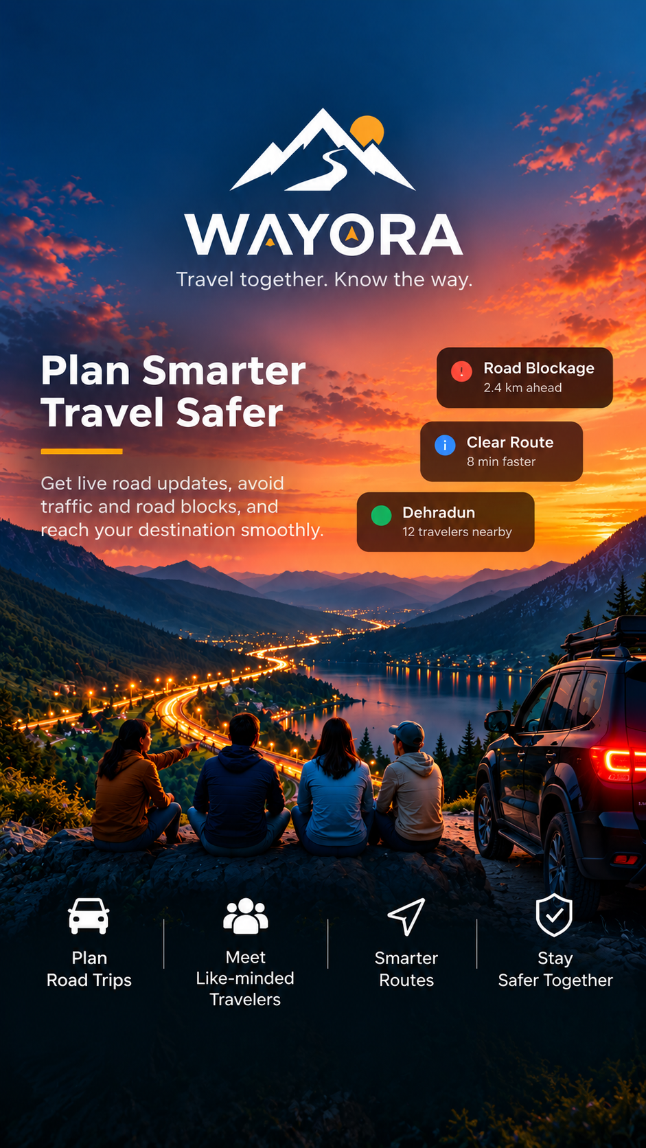
Traditional maps only track traffic delays. Wayora turns crowdsourced rider signals and connected convoys into real-time highway hazard warnings, 10km peer-to-peer biker distress beacons, and extreme Himalayan expedition safety.
- LANDSLIDE SLIP Rohtang Bypass kilometer 14 · single lane active
- WATERLOGGING Delhi-Jaipur Expressway service lane inundated (2.5ft)
- CONVOY ACTIVE 5 Himalayan 450 riders cruising Gurgaon ➔ Dehradun
- PASS OPEN Khardung La Pass cleared · sub-zero tarmac
- OIL SPILL Mumbai-Pune Expressway Khandala Ghat turn 4
- FOG ALERT Yamuna Expressway visibility below 25 meters
- LANDSLIDE SLIP Rohtang Bypass kilometer 14 · single lane active
- WATERLOGGING Delhi-Jaipur Expressway service lane inundated (2.5ft)
- CONVOY ACTIVE 5 Himalayan 450 riders cruising Gurgaon ➔ Dehradun
- PASS OPEN Khardung La Pass cleared · sub-zero tarmac
- OIL SPILL Mumbai-Pune Expressway Khandala Ghat turn 4
- FOG ALERT Yamuna Expressway visibility below 25 meters
See How Wayora Works in Motion
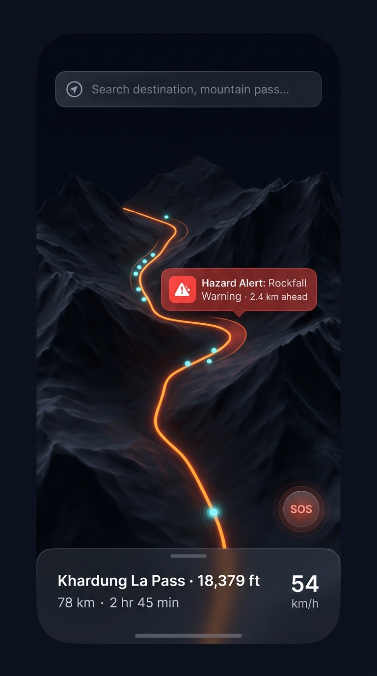
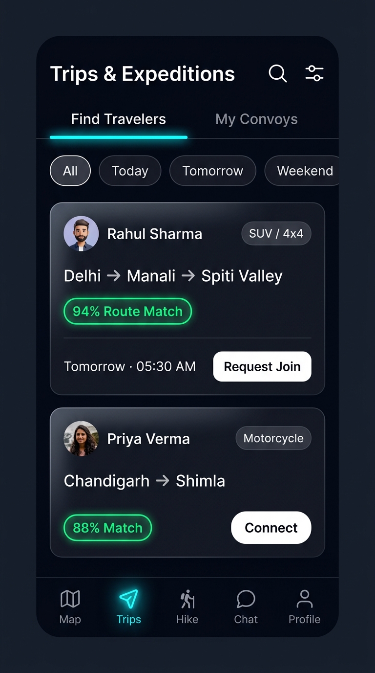
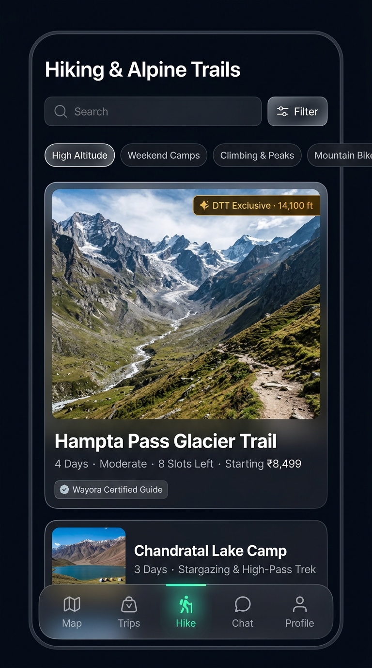
Take a look inside the cockpit. Watch real-time corridor hazard radar, 10km peer-assist SOS, and convoy mesh animate dynamically across flagship iOS and Android devices.


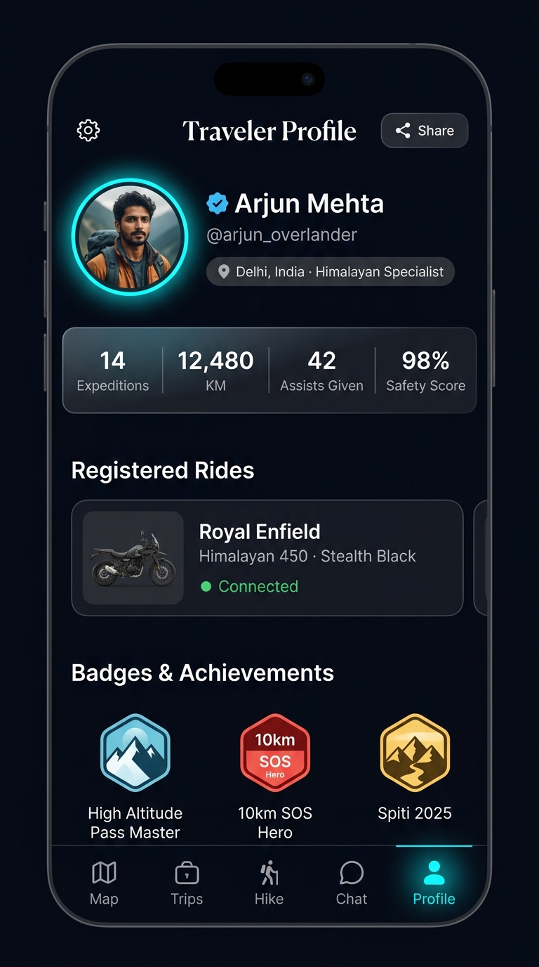
01 · Instant GPS Calibration & Corridor Handshake
Seamless verification and automated highway corridor locking as soon as you hit the national highway or mountain pass.
The Complete Highway & Expedition Arsenal
Wayora bridges the gap between digital navigation and real-world highway survival: crowdsourced road hazards, roadside brotherhood rescue, and high-altitude life support.
Real-Time Crowdsourced Hazard Radar
Traditional map tools only detect slow traffic. Wayora warns you about catastrophic road hazards reported seconds ago by travelers ahead of you: hidden potholes, flash waterlogging, oil spills, broken trucks on blind ghat turns, and sudden rockfalls.
Boulder slip on Rohtang pass approach. Verified by 14 community riders.
10 km Peer-Assist Biker SOS
Stranded with a snapped chain, empty fuel tank, puncture, or gearbox failure between remote pumps? Trigger an emergency beacon broadcast to all riders within 10 km.
Vehicle: Royal Enfield Himalayan 450 · GPS locked & dispatched.
Carpool & Highway Convoys
Connect with verified riders and drivers heading your exact route. Split fuel costs, verify government IDs, and travel safely together in synchronized convoys.
High-Altitude AMS & Hypoxia Medical Rescue
Traveling through Khardung La, Spiti Valley, or Chang La at 15,000+ feet? When altitude sickness hits, seconds matter. Wayora's altitude GPS sensor monitors elevation gain and summons nearby convoys carrying portable oxygen cans for emergency descent assistance.
AMS advisory alert active. Nearest medical outpost: Keylong (18 km).
Curated Expeditions & Mountain Trails
Discover verified weekend motorcycling routes, off-road trails, high-altitude passes, and mountain campsites with difficulty ratings and gear checklists.
Encrypted Convoy Radio & Instant Chat
Stay connected without losing concentration. Trip-linked encrypted WebSocket messaging rooms allow riders to broadcast pitstop changes, road conditions, and emergency pings instantly.
Experience Wayora in Action
Toggle through the live interactive telemetry simulation to see how Wayora protects travelers across every kilometer.
Landslide Slip & Waterlogging on Rohtang Bypass
Verified by 12 riders ahead of you. Right lane impassable. Alternative route via Tunnel Bypass clear.
Everything You Need to Know
Clear answers on how Wayora protects you on every kilometer of Indian highways.